Planning |
 |
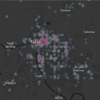
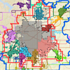
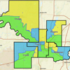
Tulsa County Pending Cases
(TMAPC and
Board of Adjustment) |
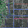 |
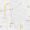
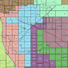
Major Street and Highway Plan |
 |
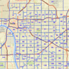
Subdivisions |
 |
Metropolitan
Tulsa Area
Corporate Limits |
 |
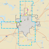
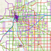
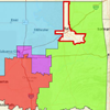
Land Use Plan
(Broken Arrow) |
 |
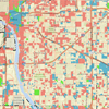
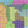
Tulsa County
Future Land Use |
 |
INCOG Planning Services Area |
|
|
|
Back to Top |
| City of Tulsa Maps |
 |
• Land Use Plan
• City of Tulsa Zoning |
|
• Small Area Plans
• Historic Places
and District |
|
| Back to Top |
| Zoning |
 |
Tulsa Area
Zoning |
|
Broken Arrow
Zoning |
|
Coweta
Zoning |
Back to Top
|
| Transportation Planning: Bicycle & Pedestrian |
 |
Existing Trails –
Tulsa Metropolitan Area |
 |
Turkey Mountain
Trails |
 |
GO Plan:
Proposed Bike
Facilities |
 |
GO Plan:
Sidewalk Gaps |
 |
Pedestrian Crashes
2011-2020 |
 |
Bicycle Crashes
2011-2020 |
| Back to Top |
| Transportation Planning: Roadways |
 |
Traffic Counts
(AADT-Estimates) |
 |
Traffic Crashes
2011-2020 |
|
Major Street and
Highway Plan |
 |
Roadway/Functional Classifications
(ODOT) |
 |
Tulsa Transportation Management Area Geographies
(urbanized area/adjusted urbanized area) |
 |
Urbanized Area Surface Transportation Projects
2011-2018 |
 |
Critical Bridges (federal) |
|
|
|
|
| Back to Top |
| Political Geography |
 |
Oklahoma Congressional
Districts |
 |
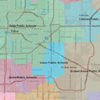
Oklahoma State House Districts |
 |
Oklahoma State Senate
Districts |
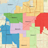 |
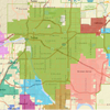
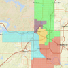
City of Tulsa
Council Districts |
 |
Tulsa County
Precincts |
 |
Area School
Districts |
 |
Tulsa County Judicial District 14 –
Electoral Divisions |
 |
INCOG Region – County Commissioner Districts |
|
Metropolitan Tulsa Area
Corporate Limits |
| Back to Top |
| Public Safety |
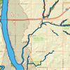 |
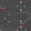
Tulsa County Floodplain |
 |
INCOG – PSAP Boundaries |
 |
Rural Fire Departments |
| |
|
|
|
|
|
| Back to Top |
| Census Data, Demographics, and Other |
 |
2020 Census Geography & Data |
 |
Zip Code Tabulation Areas (ZCTA’s) for Oklahoma |
|
Tulsa Transportation Management Area Geographies
(urbanized area/adjusted urbanized area) |
 |
Oklahoma Broadband |
|
|
|
|
| Back to Top |
| |
|
|
|
|
|